
Frome is set to have new maps placed at key points around the town.
Locations proposed include the Railway Station, the Cattle Market car park, Scott Road, Cheap Street and Kingsway. There are also plans for one in the Badcox area at the top of the town. The map displays will feature map dispensers enabling visitors to purchase maps to take with them as they explore the town.
For this new project the Town Council has gone into partnership with Cityscape Maps to produce a detailed aerial perspective tourist visitor map of Frome. The new maps will replace those that you see in various locations around the town centre. The maps will highlight the town’s attractions and give local businesses the opportunity to promote themselves to the thousands of visitors who buy the map.
Maps will also be available from the Frome Information Centre, newsagents, hotels, bookstores as well as the point of sale dispensers. The map will be in circulation for a minimum of 2 years and will hopefully enhance the visitor experience in Frome ensuring that visitors see the whole of the town centre and get the most out of their visit.
There are advertising opportunities on the map, anyone who is interested in advertising on the maps please let Peter Wheelhouse or Mark Brookes at the Town Council know from 2nd June.
Contact details: Peter Wheelhouse, economic development & regeneration manager, tel: 01373 475573, wheelhousep @frometowncouncil.gov.uk and Mark Brookes, town centre community coordinator, tel: 01373 465757, brookesm@frometowncouncil.gov.uk


 £3. This can be booked at the cafe. Party in the Park with Rock Choir Monday 4th May – 2pm to 4pm
Read more and see more events on our website, the link is in our bio.
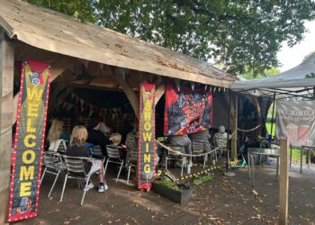
Pictured: A previous community event at Victoria Park Cafe")

